Talks
Details of 64 speaking, podcast, and other appearances over the years. Interested in having me speak at your event? Please get in touch.
Since having left Mapbox in 2017, I've been focusing more on hardware & making and have reduced the amount of speaking that I've been doing. I'm also trying to make space for more diverse voices in some of the communities in which I've been involved.
2023
Balena overview #
(self-produced) (video)I've used the Balena platform for a number of years and wanted to create an overview video for a few clients and other prospective users. This is an informal presentation at my computer showing the various parts of the service and talking about how they work and how you might use the platform.
2018
SpriteKit, SceneKit, ARKit—Oh My! #
Portland CocoaHeads, Portland, OR (slides)ARKit hit the scene this past WWDC, and Apple brilliantly made use of a couple of other kits that they’ve had around for years prior—SpriteKit and SceneKit. In this session, we’ll talk about what each of those is good at and the basics of setting them up. Then, we’ll talk about how they interface with ARKit, how to choose the right tool for the job, and some of the practical uses of the tools in apps that aren’t games and that aren’t just glorified AR lenses. Come prepared to sharpen your tools for what is sure to be a huge wave of future innovation in iOS apps written in Swift.
2017
SpriteKit, SceneKit, ARKit—Oh My! #
Swift by Northwest (invited), Seattle, WA (slides)ARKit hit the scene this past WWDC, and Apple brilliantly made use of a couple of other kits that they’ve had around for years prior—SpriteKit and SceneKit. In this session, we’ll talk about what each of those is good at and the basics of setting them up. Then, we’ll talk about how they interface with ARKit, how to choose the right tool for the job, and some of the practical uses of the tools in apps that aren’t games and that aren’t just glorified AR lenses. Come prepared to sharpen your tools for what is sure to be a huge wave of future innovation in iOS apps written in Swift.
Justin Miller, Software Developer #
App Camp For Girls Fireside Chats (invited)I was interviewed for a series by App Camp For Girls during their latest Indiegogo fundraising campaign about my experiences in the Apple development world.
Learning from iOS Animations #
360|iDev, Denver, CO (slides, video)The animation foundations in iOS are well-designed, intuitive, and powerful. What can we learn about how they are built, the capabilities that they give, and the assumptions that they are built upon, that we can bring to our own software design? Whether we are building apps or SDKs or doing frontend or backend, good framework and API design is universal. Let’s learn together from one of the best examples.
Mapbox GL: A modern, robust, open source map renderer on web and mobile #
Open Source Bridge, Portland, OR (slides)For several years, the Mapbox team has been working on the multi-platform GL native and GL JS map renderers which form the core of our mobile SDKs and web tools. But the software projects as well as the styling and data specifications created for them are fully open source, and now the rendered map contents are able to be dramatically changed and styled at runtime, tweaking colors, geometries, and opacities, all with robust animation capabilities. Come see a demo of the libraries’ capabilities and gain some insight into how a modern, first class map renderer works and how the open source projects are sustained.
Beginning & Intermediate Maps & Location with Mapbox #
AltConf, San Jose, CA (sample code, slides)Mapbox is the premier location platform for developers and designers. Our iOS SDK, as with all of our tools, is completely open source on GitHub and is a world-class, from-the-ground-up replacement for alternatives like Apple and Google. It uses worldwide crowdsourced data and a high-quality, high-performance custom OpenGL renderer with a full, open styling specification. Come learn the basics of getting up and running, as well as more advanced topics like fluid, game-like use of maps as a canvas for your app, game, or augmented or virtual reality experience with features like runtime and data-driven styling. Stop thinking of maps as an opaque data stack that you just put your pins on and start thinking about them as the basis for much more custom, location-aware context in your app.
Learning from iOS Animations #
CocoaConf Next Door (invited), San Jose, CA (slides)The animation foundations in iOS are well-designed, intuitive, and powerful. What can we learn about how they are built, the capabilities that they give, and the assumptions that they are built upon, that we can bring to our own software design? Whether we are building apps or SDKs or doing frontend or backend, good framework and API design is universal. Let's learn together from one of the best examples.
Mapbox: Flexible Tools for Maps & Location in Your App #
WWDC Mapbox Party, San Jose, CA (slides)Overview of Mapbox capabilities for mobile, game, and augmented reality developers.
Mapbox Mobile #
CUGOS Spring Fling (invited), Seattle, WA (slides)Justin will share some recent additions to Mapbox's mobile SDKs as well as share some insight into developing mapbox-gl-native in the open.
Learning from iOS Animations #
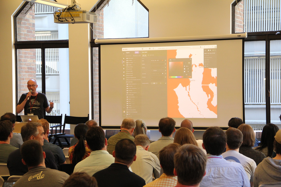
Istanbul Tech Talks (invited), Istanbul, Turkey (slides, video)The animation foundations in iOS are well-designed, intuitive, and powerful. What can we learn about how they are built, the capabilities that they give, and the assumptions that they are built upon, that we can bring to our own software design? Whether we are building apps or SDKs or doing frontend or backend, good framework and API design is universal. Let's learn together from one of the best examples.

2016
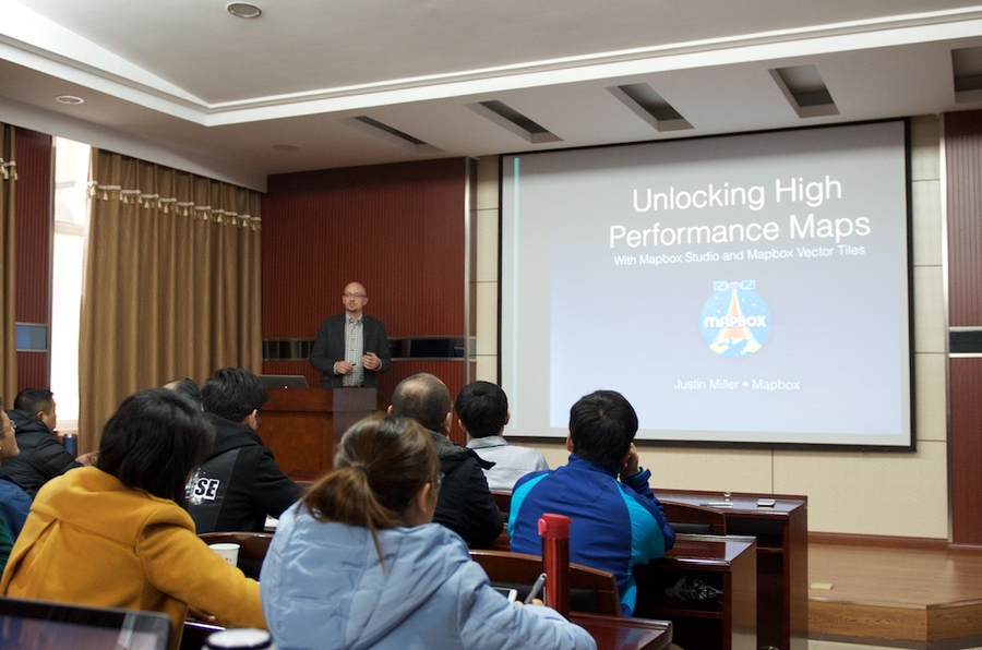
Unlocking High Performance Maps With Mapbox Studio and Mapbox Vector Tiles #
Wuhan University (invited), Wuhan, China (slides)Overview of the building blocks of Mapbox technology given during a GIS program training for students.
Maps on iOS #
CocoaHeads Shanghai, Shanghai, China (slides)Overview of stock iOS maps with Apple's MapKit as well as the latest in Mapbox technology and the problems it is adept at solving.
Introducing Custom Mapping With Mapbox #
WeWork Weihai Road, Shanghai, China (slides)Overview of Mapbox products and technology, as well as Mapbox's expansion into China.
PurpleStride Portland 2016 #
KATU TV AM Northwest Show (invited), Portland, OR (video)I appeared live on a local morning TV program to talk about my experiences with pancreatic cancer and to promote the PurpleStride Portland 2016 fundraising and awareness walk.

Pokémon Go augments local reality #
Portland Tribune (invited), Portland, ORI was interviewed by a local newspaper about my thoughts on Pokémon Go, augmented reality, and mobile gaming as it relates to maps and location.
2015
#152: Justin Miller #
NSBrief Podcast (invited) (audio)Justin Miller is an iOS engineer at Mapbox. In this interview, Janie and Justin discuss using OpenGL and Metal to build map frameworks. They also talk about some new stuff going on at Mapbox.
On-Device, Open Source Mobile Vector Rendering of OpenStreetMap #
Open Source Bridge (slides, video)Mapbox GL is a completely open source framework for turning OpenStreetMap, and other, map data into beautiful, device-rendered maps. This means that the style can change at 60 frames per second, including when offline. Come learn about the pieces that go into this stack, from vector “tiles” of map data, to low-level rendering, on to developer APIs and eventually, apps. We’ll have plenty of demos on Android and iOS to show off the capabilities.
Justin Miller of Mapbox On Their Mapping Tools for iOS and Web Developers #
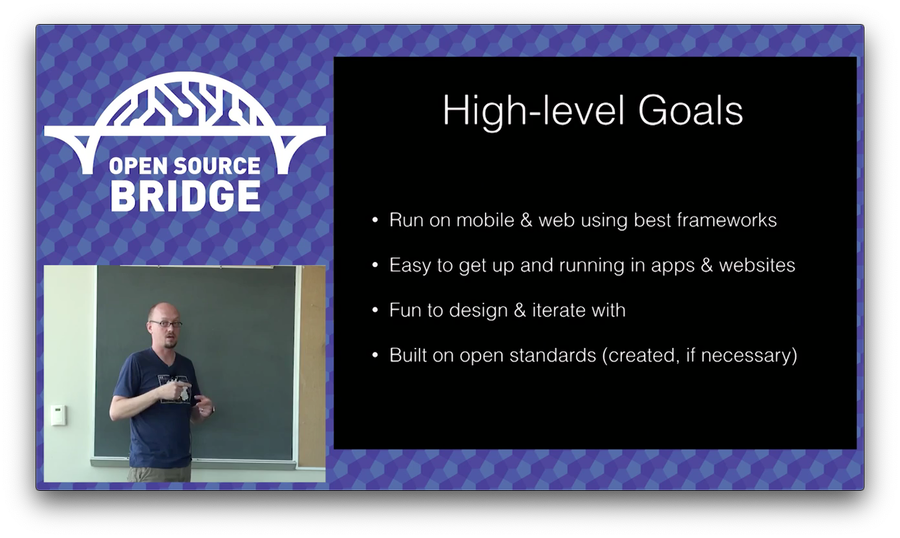
MacVoices (video)We all use maps, but how much thought do you give them? Justin Miller and the team at Mapbox give them a whole lot of thought. Mapbox supplies maps and map data to application developers to use in apps like Pinterest, Foursquare and more. Justin gives us a look at the world of iOS maps, the kinds of information they deliver to us, and the kinds of information that developers can obtain from them.
Swift by Practical Example #
CocoaConf PDX (invited), Portland, OR (slides)The session will focus on a number of examples of things Swift is particularly good at or designed for, looking at specific problems you might encounter in app development, and contrasting Objective-C and Swift approaches for tackling them. We’ll peel back some of the jargon for folks who aren’t necessarily programming language enthusiasts but rather are looking for ways to apply, or even justify, use of Swift in active projects. From generics to lazy loading to decisions between reference and value types, come prepared to take away tips that you can use in solving the problems you face every day as a Cocoa programmer.

2014
Beautiful Custom Maps for Mobile Apps #
DC Droids, Washington, DC (slides)lightning talk
Co-presenters: Brad Leege
Mobile Vector Cartography: Designing for Infinite Scale Factors #
NACIS, Pittsburgh, PA (slides)The Mapbox GL rendering engine is a technology for turning geographic data into living, breathing maps on mobile and web platforms, maps that are drawn as infinitely scaling vectors with on-the-fly styling capabilities. But design of such maps introduces challenges into the design process such as dynamic label placement when zooming the map in and out, specifying feature line width as a function of map scale instead of as static numbers, and other design aspects that become more about planning for presentation situations than about putting visual elements to static medium. This talk will demonstrate these challenges firsthand in a live, on-device demo and talk about the engineering challenges behind giving cartographers these sorts of tools.
Mobile vector map rendering with Mapbox tools #
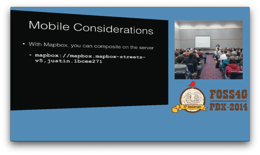
FOSS4G, Portland, OR (slides, video)Rendering maps from vector data is the next wave in custom cartography, and nowhere is this more important than on mobile devices. Modern mobile devices have high-powered GPUs for hardware-accelerated rendering and a multitude of sensors for environmental input, but also need to be keenly aware of network bandwidth constraints and have the ability to go offline. Mapbox is working on a new suite of mobile tools that render constantly up-to-date vector OpenStreetMap data into maps on the device. These maps can be customized completely client-side and even tap into ambient sensors such as GPS, compass, and pedometer. This session will show what’s possible with this new open source toolkit, including client-side map style customization and influencing the user experience with sensor inputs, and will talk about high-level design goals of the tools and where they are headed next.
Mapbox Studio Fundamentals #
FOSS4G, Portland, OR (slides)The Mapbox Studio Fundamentals workshop will cover core principles of making maps with your own source data. Attendees are not required to have any previous experience making maps and can expect to learn about what TileMill does for you & what it produces, overview of the most common types of geo data, how to use the CartoCSS map styling language, map symbolization basics, how to bring in custom imagery and fonts, database integration (PostGIS & SQLite), map interactivity, especially for the web, examples of TileMill maps at varying levels of complexity, and where to go for more help.
Co-presenters: Rafa Gutierrez, Dane Springmeyer
Mapbox: Building the Future of Open Mapping #
OSCON, Portland, OR (slides)Mapbox is leading the way in open mapping. Companies such as Foursquare, Pinterest, Mozilla, NPR, National Geographic, and GitHub, as customers of Mapbox, use OpenStreetMap data and open source software. Learn how Mapbox is running a business like you would run an open source project, how the process and the expertise are what really matter, and how it is succeeding in a field dominated by large, well-funded players by being open. This presentation will talk about how openness, both internally and externally, is the foundation of Mapbox’s success, as well as how it is both leveraging many open source projects, but also contributing back out many more, showing that proprietary software isn’t the only way to build a business. Attendees will also come away knowing more about the rapidly re-exploding mapping business, particularly on mobile devices, and that there isn’t just one map anymore when it comes to web and mobile.
OpenStreetWhat? Mapping The World With Open Data #
Open Source Bridge, Portland, OR (slides)Come learn about OpenStreetMap, a Wikipedia-like project with over one million contributors aiming to map the entire world. We’ll talk about the project, the data, and how to do some cool things with it like customize its styling, make a map for your website, use it in a mobile app, and even add your own data!
Co-presenters: Rafa Gutierrez
2013
Creating Custom Maps With TileMill and CartoCSS #
Portland Cartography Symposium (invited), Portland, OR (slides)Open Mapping on iOS #
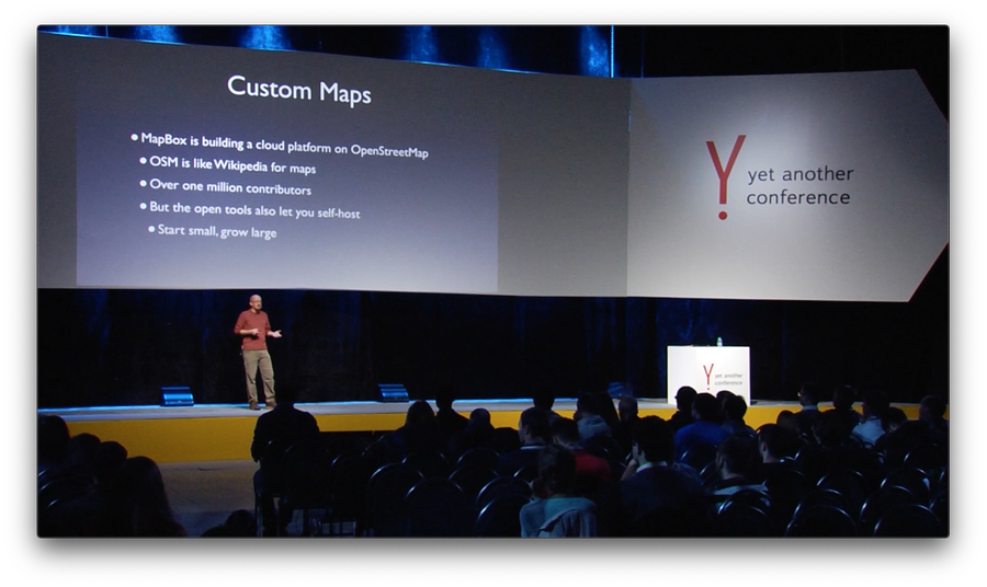
Yet Another Conference (invited), Moscow, Russia (self-produced intro, slides, video)Open mapping refers to using open source software to display and interact with maps and using open source tools and data to make the maps themselves. You will hear about ways to make maps from common data as well as how to use them in both online and offline environments on Apple's iOS ecosystem. We will cover some basic types of geographic data, bringing them all together and designing a map, and working with Apple's closed, proprietary operating system in more flexible and open ways. You will learn about some of the challenges that map-enabled app developers face in a mobile environment and how various open source projects and standards can help solve those problems.
Getting To The Point With MapKit #
CocoaConf PDX (invited), Portland, OR (slides)Apple's MapKit has been around since iOS 3 and has steadily been improving through each iOS release. It provides an easy-to-use API for displaying map views, adding points and polygons atop them, and tying into other APIs like Core Location. We'll talk about basic use with things like visuals as well as under-the-hood APIs like geocoding, but also where to turn when you hit edge cases like region interactivity, offline use, and stylistic customizations.
MapBox is battling Apple & Google for the future of location-based data with Open Source. #
Smoking Hot Coffee Podcast (invited) (video)With the popularity of smart phones, mapping has been a huge feature of the internet for both consumers looking where to go, and for web applications that need to plot data on a map. Justin tells us about the popularity of the MapBox github profile and the repo that he contributes to, the iOS SDK.

Come Make a Map: Completely Custom, Open Source Maps with TileMill #
Open Source Bridge (slides, video)Using the free, open source design studio TileMill, we’ll walk through what actually goes into making a map — from found sources of data to creating your own. Then, we’ll style them using CartoCSS, a CSS-like language for instantly styling map data. We’ll talk about design issues that go into making good maps. And lastly, we’ll talk about how to take your map and do whatever you like with it, whether it’s putting it on the web, into a mobile app, or sharing the data with others. You can even follow along on your laptop and end up with your own map!
WWDC Whiskey Geo Hour #
Apple Worldwide Developer Conference, San Francisco, CA (slides)lightning talk
Mobile, Offline Maps With Open Tools & Data #
FOSS4G North America, Minneapolis, MN (slides)Open source mapping and GIS has been exploding onto the tech scene in the past year. Combined with the equally explosive growth of powerful mobile platforms, a need is arising for rich, offline-capable mobile mapping technologies. This presentation will focus on a process for taking open data sources, turning them into beautiful custom maps, using them on mobile in an offline-capable way, and doing it all with entirely open source code. Attendees should expect to gain understanding of this process, the open source tools available for their use, and potential problems faced when mapping on mobile.
Episode 9 – Justin Miller #
Springboard Podcast (audio)Justin Miller joins us this week to discuss the necessity of a C background when learning Objective-C, Apple's various documentation resources and how best to leverage them, MapBox and open source software, using XIBs and Storyboards versus using code, and CocoaPods.
State of the Art Web Mapping with Open Source TileMill #
GIS In Action (invited), Portland, OR (slides)Hands-on learning using TileMill, MapBox’s cross platform open source design studio. Examples and walk-through demos for making several types of maps in TileMill for both technical and non-technical users.
Maps On iOS: Perhaps You've Heard Of Them #
NSNorth (invited), Ottawa, Canada (audio, slides)Justin plans to share his experience with building alternatives to Apple's framework in a way that will be useful to everyone working with Cocoa. He'll detail his experiences with Core Animation, Core Location, and third-party projects in building an open source alternative to MapKit. From code-level details like tiled map views, scalable vector drawing, and caching, to big-picture topics like designing APIs, creating documentation, and managing open source projects, this talk will be filled with practical info for everyone.
2012
Dissecting the "Kit" in MapKit #
CocoaConf PDX, Portland, OR (slides)You may or may not have experience working with Apple's MapKit, but have you ever considered what goes into building it from scratch? I have, because I've helped do just that. This session will go over the high-level components of MapKit -- things like the map view, annotations, annotation views, and user location services -- and talk about what they do, but also how they can be -- and have been -- duplicated. We will compare and contrast with the MapBox iOS SDK, which is a completely open source implementation of MapKit, not a subclass derivative, and see all the complex bits and bobs that go into it, including tile-based layers, annotation recycling, complex interaction delegate callbacks, map tile cache management, and scalable vector drawing, to name a few.
High DPI and Retina Displays in the Eye of the Cartographer #
NACIS, Portland, OR (slides)Modern smartphones, and now even traditional computers, are increasingly moving towards high DPI display technology, where there are many more pixels on screen and images are much crisper. Hear about the design considerations that go into optimizing maps for these displays, ranging from label placement, feature sizes, font choices, increased network traffic, and more. High DPI isn't going away, and as more users gain devices with these capabilities, cartographers need to be aware of how to make beautiful, compelling maps for their use.
Open Source Mapping on a Closed Platform #
State of the Map US, Portland, OR (slides)The MapBox iOS SDK is a completely open source alternative to MapKit on iPhones and iPads, which is provided by Apple. With MapBox, developers can bring in OpenStreetMap, their own custom-designed map layers, or any other map tile source that they desire, plus they can mix and match, layering them all in varying orders, using them offline, and otherwise completely customizing their apps' mapping experiences. This session will go over what's in the box - getting up and running with the SDK using OpenStreetMap, an overview of basic customizability options, approaches and API for offline use, and future plans for the project. Attendees need not be iOS developers, but some application development experience would be useful.
Building a Mobile, Offline Mapping Stack Using Open Tools & Data #
OSCON, Portland, OR (slides)Open source mapping and GIS has been exploding onto the tech scene in the past year. Combined with the equally explosive growth of powerful mobile platforms, a need is arising for rich, offline-capable mobile mapping technologies. This presentation will focus on a process for taking open data sources, turning them into beautiful custom maps, using them on mobile in an offline-capable way, and doing it all with entirely open source code. Attendees should expect to gain understanding of this process, the open source tools available for their use, and potential problems faced when mapping on mobile.
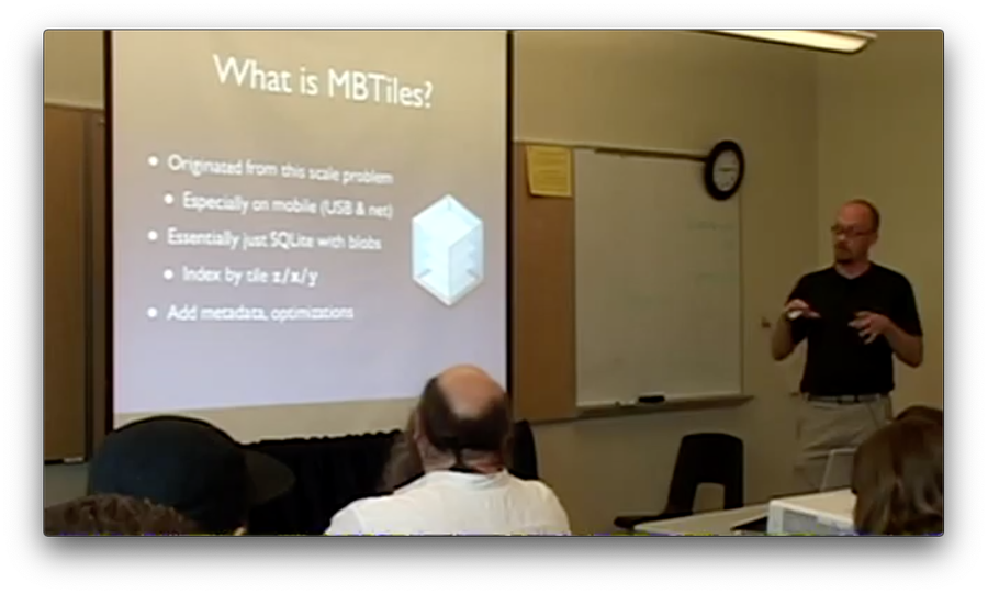
Anatomy of an Open File Format: Where MBTiles Came from and the Mapping Problems It Solves #
Open Source Bridge, Portland, OR (slides)MapBox is a company building beautiful maps and open source tools. At the heart of our work are open software and standards, and at the heart of that is a file format for storing maps called MBTiles. We’ll talk about where the need for this format came from, how it was created, and what problems it solves — from dealing with literally billions of map tiles, to using map technology in an offline environment, to enabling cross-platform toolchains. Even if you’re not a map hacker, you’ll gain insights about how to think about difficult problems and apply open source tools towards solving them. Plus, you’ll get to see some really sweet maps.
Justin Miller of MapBox Discusses Their Products and Apple’s Map-Related Announcements #
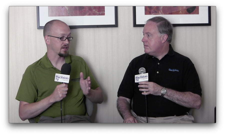
MacVoicesTV, San Francisco, CA (video)Developer Justin Miller discusses Apple’s map-related WWDC announcements from an informed perspective. His company, Development Seed, is in the cartographic business with MapBox. Justin covers what MapBox is, where its information comes from, and why you would want to seek them out if you have a need for a custom map solution, simple or complex. Being in the business, Justin has some thoughts on Apple’s entry into Maps, and tells us why he is excited about the future.
#48: Justin Miller #
NSBrief Podcast (invited) (audio)Justin Miller hacks on mapping components for Mac and iOS apps at Development Seed. In this episode, we chat with Justin about his most recent project, MapBox, a free MapKit replacement for your iOS apps, as well as other free mapping tools for use from the awesome guys at Development Seed.
MapBox #
PDX OSGeo, Portland, OR (slides)Justin is all things iOS for the MapBox team. He'll be joining us again to show us what MapBox has been up to lately (and they've been busy) including their strategy in the Google Maps space, their new iOS SDK, MapBox streets layer, custom styled maps, what Artem from Mapnik is doing now that he's joined the team and what they're doing with open source in general. Something for everyone and a great follow-up to Wm's talk.
2011
"Lifestyle Business" Is Not A Dirty Word (Well, Two) #
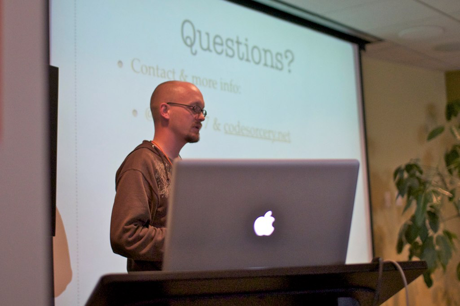
SecondConf (invited), Chicago, IL (slides, video)Justin spent half a decade dreaming up the perfect solo business while working for others, then another half executing on that plan. Now, six months after leaving it to work for someone else, he finds more similarities than differences. He’ll talk about what he learned along the way and how you can apply this to "work", no matter how you define that word.
2010
2009
Justin Miller, Files and Desktop Guy #
DrupalEasy Podcast (invited) (audio)Justin Miller works with Drupal, Desktop Macintosh Software, iPhone Development and Systems Administration. Justin walks us through some of the projects he's worked on over the years, including several ways to get files into Drupal.
Beyond The Web: Drupal Meets The Desktop (And Mobile) #
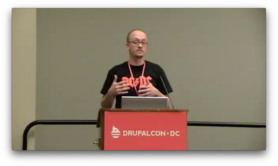
Drupalcon, Washington, DC (slides, video)We all know that Drupal is a robust self-contained system for running a social website, but what about when you want to hook it up with the desktop or mobile devices? This session will take a look at the capabilities built into Drupal core, as well as contributed modules, for combining Drupal with desktop and mobile clients. The presenter is a Mac & iPhone developer and the co-maintainer of the DAV API, File Server, Boost, and Trace modules, and inadvertently had code in Drupal core in 2001.
2008
2007
2006
Justin Miller of Code Sorcery #
CocoaRadio Podcast (invited) (audio)Get Pukka already! - a del.icio.us posting client from Justin Miller's Code Sorcery, utilizing Bonjour, Growl, Sparkle and other niceties available to Cocoa developers. Justin has recently released v1.1 of his first Cocoa app and has some thoughts to share. While his app is simple, it's a great example of creativity and marketing.
